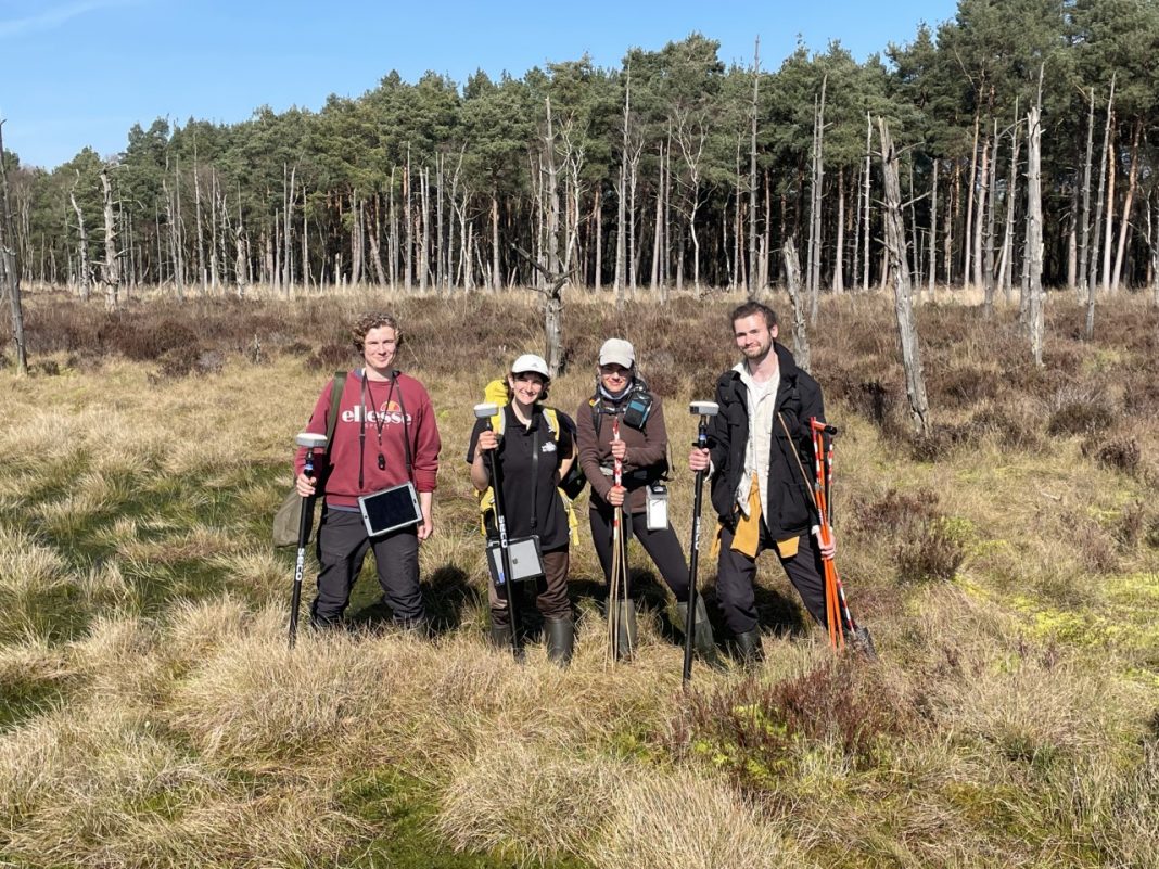
Nottingham-based ecology, land management and arboriculture consultancy EMEC has been appointed on a nationwide project to survey UK peatlands as part of The England Peat Map Project (EPM).
EMEC has been sub-contracted by FERA Science Ltd to deliver the majority of field surveys, which will comprise over 2400 vegetation and 900 soil field surveys across England. EMEC will also lead a network of other wildlife trust consultancies who will be co-operating together in order to meet the national scope of the project.
The England Peat Map project is part of the Natural Capital and Ecosystem Assessment Programme (NCEA), a science innovation and transformation programme funded by Defra which spans across land and water environments.
The EPM project commenced in April 2021 and will run until 2024 with the intention of providing new evidence to support a range of uses including restoring peatlands and reporting on peatland carbon emissions. Experts believe that mapping England’s peat will contribute towards the Government achieving its net zero target by 2050. Funding for the £3m project has come from the Nature for Climate fund.
Ed Tripp, consultancy director at EMEC, said: “Healthy peatland has a cooling effect on the climate as peat captures carbon from the atmosphere and stores it underground. Knowing where the peat is, and its condition will help conservationists identify areas for future restoration and protection. Working with a wide range of partners and stakeholders to restore peatland will be a considerable step towards reaching 2050 targets.”
He added: “The project should also help to set a framework for gathering and recording data. Current information is patchy and not recorded in a standard format which makes it difficult to understand peat volume and its capacity to store carbon. The project will deliver new baseline mapping that is cost effective and exploit the opportunities offered by advances in technology and data.”
The comprehensive mapping of England’s peat resources will underpin a range of activities that will help to improve how we estimate greenhouses gases, where to target restoration activities and understand their effectiveness, as well as apply and share learning and data with other partners.


